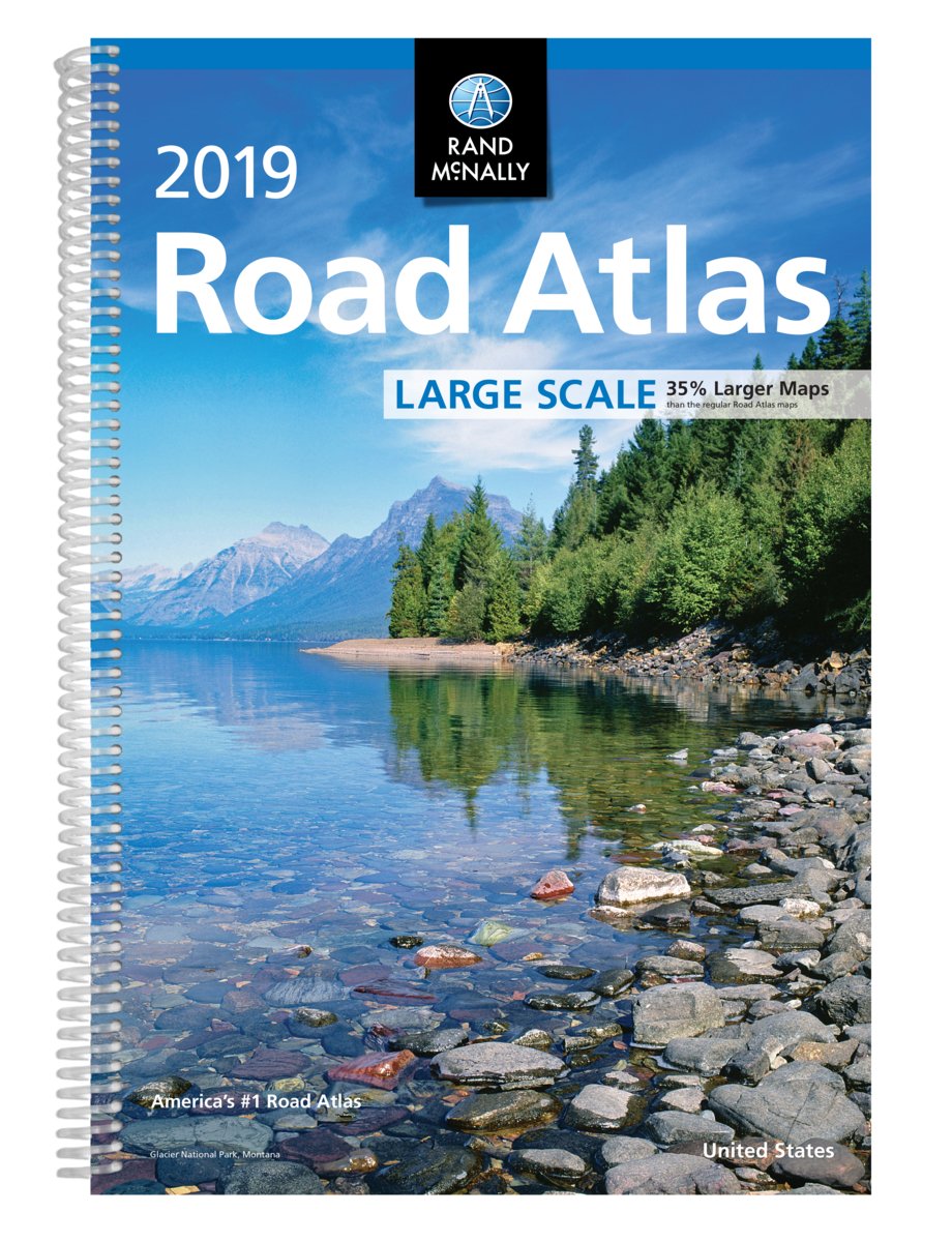
2019 Rand McNally USA Road Atlas
Easy on the eyes! Vehicle navigation systems are outdated and expensive to update. Phone apps kill battery and data plans.
Professional drivers need real maps!
Spiral-bound Large Scale edition featuring all the accuracy you've come to expect from Rand McNally, only bigger.
Updated atlas contains maps of every U.S. state that are 35% larger than the standard atlas version plus over 350 detailed city inset and national park maps and a comprehensive, unabridged index.
Road construction and conditions contact information for every state conveniently located on map pages. Contains mileage chart showing distances between 77 North American cities and national parks with driving times map. Tough spiral binding allows the book to lay open easily.
